I hasten to add that I did say that Pedregal Alto translates into a 'high stony tract'!
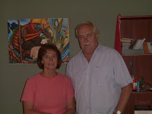
The actual community land can be seen in the background of the photo of Marion and Mick, overlooking the soccer field.


The pictures tell the story of this area. The people erected the small capilla just for Easter Sunday. The land is the actual sit of the future community centre.


Once again if you are able to access Google Earth then enter 'Canto Grande Lima' and follow the highway up the valley until your pointer coordinates read - 11 degrees 56' 44.44" S and 76 degrees 56' 50.80 W - you will see a large limestone quarry nearby. This is the spot for the centre, we hope!